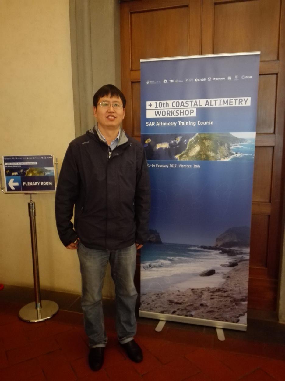
Name: Jungang Yang
Address:
Lab of Marine Physics and Remote Sensing
First Institute of Oceanography, Ministry of Natural ResourcesNo. 6 Xianxialing Road, Qingdao, P. R. China 266061
Email: yangjg@fio.org.cn
Education
06/2007- 09/2004: Institute of Oceanology, Chinese Academy of Sciences, PhD. in physical oceanography
09/2001- 06/2004: Inner Mongolia University, Master in fundamental mathematics
09/1997- 06/2001: Inner Mongolia University, bachelor in mathematics
Working Experience
12/2020- now: First Institute of Oceanography as a Research Fellow
12/2011- 12/2020: First Institute of Oceanography as an associate researcher
07/2007- 12/2011: First Institute of Oceanography as an assistant researcher
Research Interests
Marine Dynamic Environment Remote Sensing; satellite altimeter data processing and data applications (waves, tides, mesoscale eddies, circulation, and sea level changes, etc.); Scatterometer data application technology; satellite remote sensing data calibration and validation; remote sensing data spatiotemporal expansion technology.
Research Projects
1. Sub-topics of the project ‘Study on the Evolution Mechanism of Islands and Reef in the South China Sea based on data Mining and Multi-scale Simulation and Prediction Technology’. National Natural Science Foundation of China (Key Program), 01/2019- 12/2023.
2. Marine dynamic environment monitoring in the China seas and western Pacific Ocean seas by satellite altimeters (ID.58900). Project of Dragon 5 cooperation between European Space Agency (ESA) and the Ministry of Science and Technology (MOST) of the P.R. China, 07/2020-07/2024.
3. Research on multi-source ocean historical observation data processing technology, National Key Research and Development Program of China, 09/2016- 12/2020.
4. Seasonal variability characteristics of mesoscale eddies three-dimensional structure in the Eastern India Ocean Based on SSH, SST and Argo data, National Natural Science Foundation of China, 01/2016- 12/2019.
5. HY-2B/C satellite altimeter data fusion software system. Project of Ocean Observation Satellite Ground System, 06/2017- 12/2018.
Publications
1. Jungang YANG, Jie ZHANG, Wei CUI, Muñoz MAITE, Makhoul EDUARD. Primary Analysis of Oceanic Mesoscale Eddies Observation Abilities by Sentinel-3A SRAL. Journal of Geodesy and Geoinformation Science, 2021, 4(1): 56-62.
2. Yang, J.; Zhang, J.; Jia, Y.; Fan, C.; Cui, W. Validation of Sentinel-3A/3B and Jason-3 Altimeter Wind Speeds and Significant Wave Heights Using Buoy and ASCAT Data. Remote Sens. 2020, 12, 2079.
3. Jungang Yang, Jie Zhang. Accuracy Assessment of HY-2A Scatterometer Wind Measurements During 2011-2017 by Comparison with Buoys, ASCAT, and ERA-Interim Data. IEEE Geoscience and Remote Sensing Letters, 2019,16(5): 727-731.
4. Jungang Yang and Jie Zhang. Comparison of Oceansat-2 Scatterometer Wind Data with Global Moored Buoys and ASCAT Observation, Advances in Meteorology, 2019, Article ID 1651267.
5. Yang, J., Zhang, J., Wang, C. Sentinel-3A SRAL Global Statistical Assessment and Cross-Calibration with Jason-3. Remote Sens. 2019, 11(13), 1573.
6. Yang, J.; Zhang, J. Validation of Sentinel-3A/3B Satellite Altimetry Wave Heights with Buoy and Jason-3 Data. Sensors, 2019, 19(13), 2914.
7. Jungang Yang, Jie Zhang. Evaluation of ISS-RapidScat Wind Vectors Using Buoys and ASCAT Data. Remote Sensing, 2018, 10(4), 648; doi:10.3390/rs10040648.
8. YANG Jungang, ZHANG Jie and MENG Junmin. Underwater topography detection of Taiwan Shoal with SAR images. Chinese Journal of Oceanology and Limnology, 2010, 28(3): 636-642.
9. YANG Jungang, ZHANG Jie and MENG Junmin. A detection model of underwater topography with a series of SAR images acquired at different time. Acta Oceanologica Sinica, 2010, 29(4): 28-37.
10. Yang Jungang, Zhang Jie, Meng Junmin. Underwater topography detection of Shuangzi Reefs with SAR images acquired in different time. Acta Oceanologica Sinica, 2007, 26(1): 48~54.
11. Liang G., Yang J., Wang J. Accuracy Evaluation of CFOSAT SWIM L2 Products Based on NDBC Buoy and Jason-3 Altimeter Data. Remote Sensing. 2021; 13(5):887.
12. Huang, L.; Yang, J.; Meng, J.; Zhang, J. Underwater Topography Detection and Analysis of the Qilianyu Islands in the South China Sea Based on GF-3 SAR Images. Remote Sens. 2021, 13, 76.
13. Cui W., Wang W., Zhang J., Yang J. Identification and census statistics of multicore eddies based on sea surface height data in global oceans. Acta Oceanol. Sin., 2020, 39(1):41-51.
14. Jia, Y.; Yang, J.; Lin, M.; Zhang, Y.; Ma, C.; Fan, C. Global Assessments of the HY-2B Measurements and Cross-Calibrations with Jason-3. Remote Sens. 2020, 12, 2470. http://dx.doi.org/10.3390/rs12152470
15. LI Jitao,LIANG Yongquan, ZHANG Jie, YANG Jungang, SONG Pingjian, CUI Wei. A new automatic oceanic mesoscale eddy detection method using satellite altimeter data based on density clustering. Acta Oceanologica Sinica, 2019, 38(5): 134-141.
16. Wei Cui, Wei Wang, Zhang Jie, Jungang Yang & Yongjun Jia. Improvement of Sea Surface Height Measurements of HY-2A Satellite Altimeter Using Jason-2, Marine Geodesy, 2018,41(6): 632-648.
17. Cui, W., Wang, W., Zhang, J., and Yang, J. Multicore structures and the splitting and merging of eddies in global oceans from satellite altimeter data, Ocean Sci., 2019, 15, 413–430.
18. CUI Wei, YANG Jungang, MA Yi. A statistical analysis of mesoscale eddies in the Bay of Bengal from 22–year altimetry data. Acta Oceanologica Sinica, 2016, 35(11): 16-27.
19. Chaojie Zhou, Xiaohua Ding, Jie Zhang, Jungang Yang, and Qiang Ma. An Efficient T-S Assimilation Strategy Based on the Developed Argo-Extending Algorithm. Advances in Meteorology, 2017, doi:10.1155/2017/6847343.
20. WANG Jichao, ZHANG Jie, YANG Jungang, BAO Wendi, WU Guoli, REN Qifeng. An evaluation of input/dissipation terms in WAVEWATCH Ⅲ using in situ and satellite significant wave height data in the South China Sea. Acta Oceanologica Sinica, 2017, 36(03): 20-25.


